Interactive Maps
Why do you need an interactive map?
Read about our interactive maps. We’re seeing more and more requirements for site analysis through visualisation, be it a site for property development, a new solar farm, or anything else you can think of. We’re familiar with the challenges a big site can bring when trying to distil information down and get across the vital points you need to make, in a variety of styles to suit your needs.
We’ve listed 3 techniques that we use to get your site online, accessible, and understandable:
2D Interactive Maps
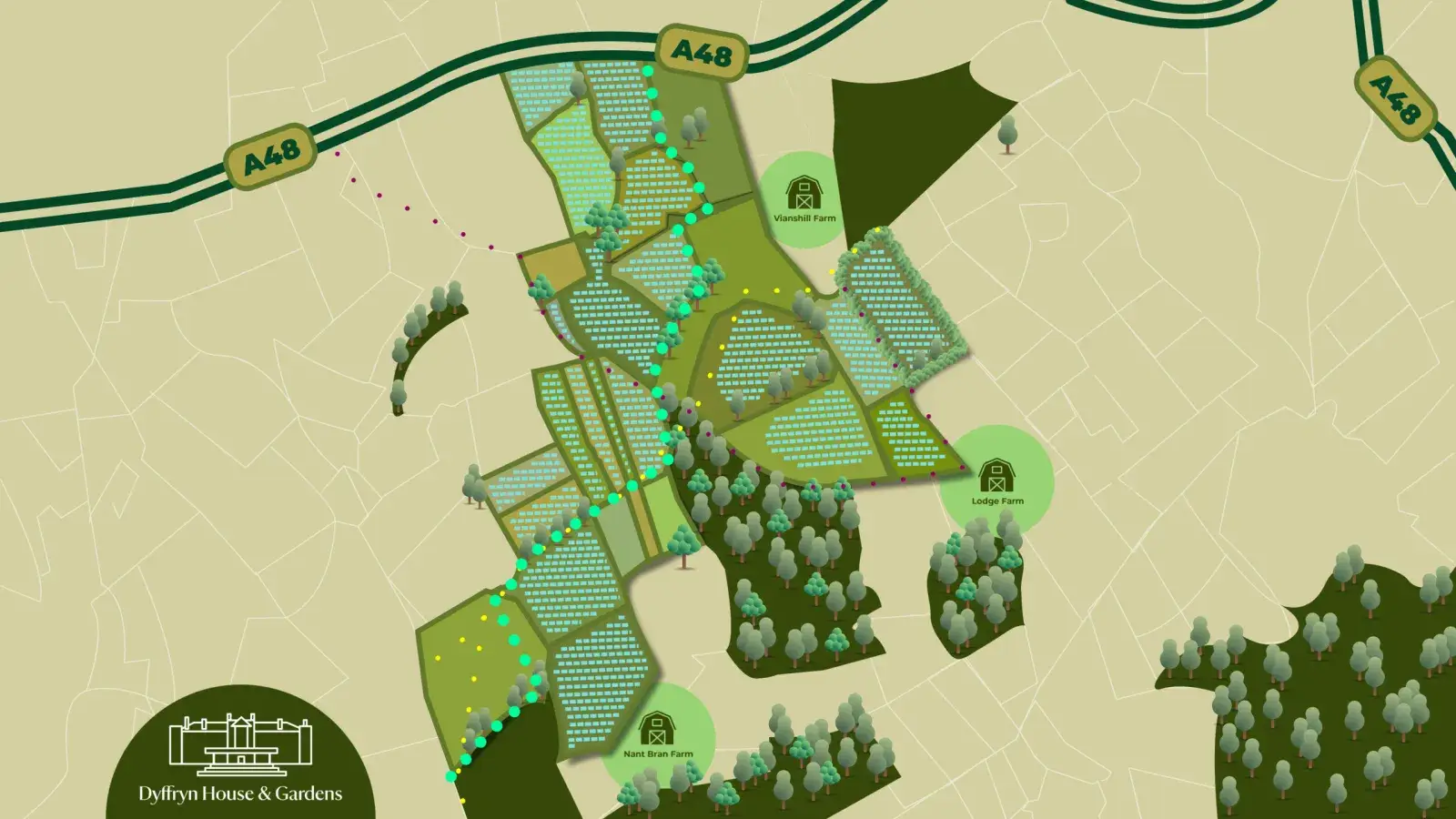
2D maps can give a fun, illustrative way to understand a space:Flexibility – It can be stylised and indicative, or a technical drawing, whatever you need it to be.Filters – Turn on and off routes through your site, key points of interest, grid lines.Eye catching – Use colour, brand and our graphic design team to make this the centrepiece of your site.Integrated Content – Include pop up imagery, animations, text boxes and URLs to give the complete package.Time involved? Site dependant, but 3-5 days estimate.
3D Interactive Maps
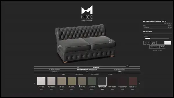
3D Maps give you an extra dimension:See Everything – Spin around, zoom in on and see every angle of your site.The third dimension – Understand the true lay of the land, including height.Interactive Content – Interactive hotspots allow you to bring up imagery, animations, and more360s – Build in to our 360 tour package, you can easily access 360s at ground level to understand from high or low.Time involved? Site dependant – half a day to get a basic model from infraworks working (as in link) – multiple days if site modelling required, plus extra for hotspots and interactive features.
Aerial 360 Tours
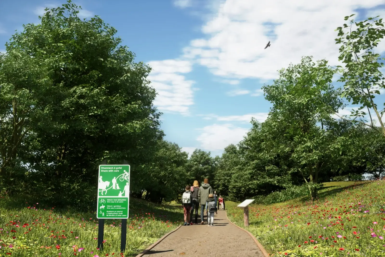
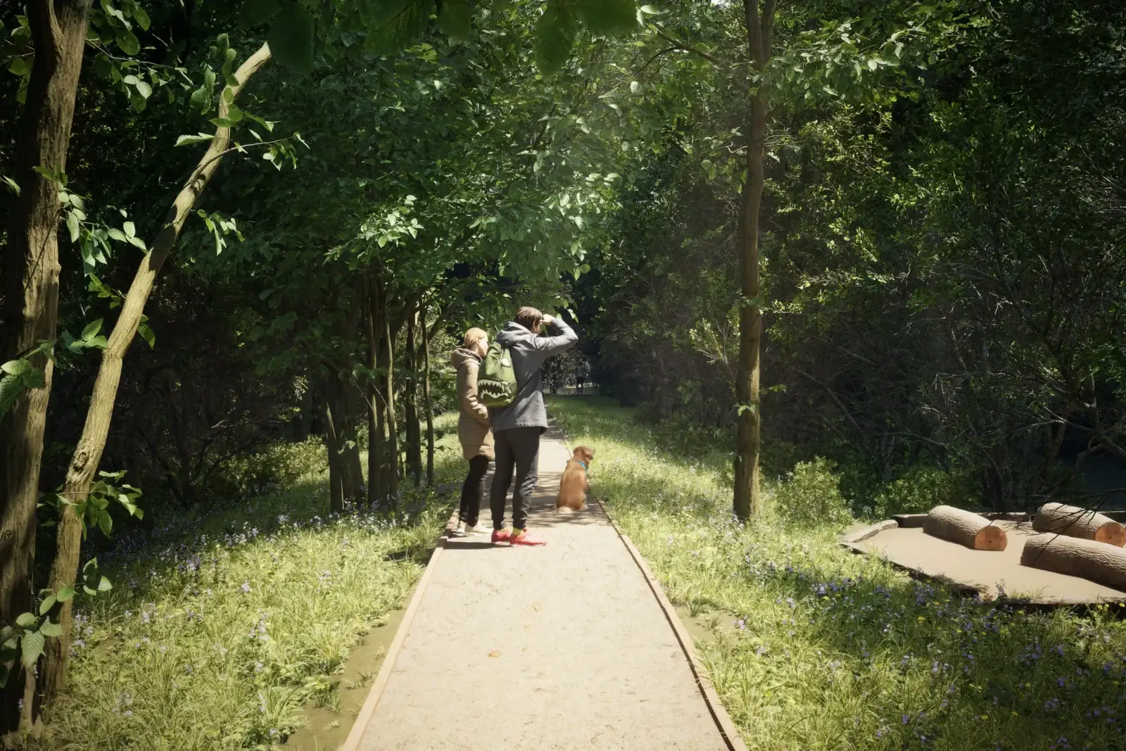
Using a traditional 360 gives you a fixed viewpoint, but also the best opportunity for photoreal content, either through our visualisation services, or drone 360 photography.BULLET POINTS TO BE FILLED IN ASAPTime involved? Site dependant – half a day to get a basic model from infraworks working (as in link) – multiple days if site modelling required, plus extra for hotspots and interactive features.

